Skip to main content
Why Digital Earth Africa?
Satellite Data for Sustainable Development
Climate Action and Reporting
Water Resources and Flood Risks
Agriculture and Food Security
Land Degradation and Coastal Erosion
Urbanisation
Impact stories
About
Our Team
Our Community
Our Partners
Subscribe to Stakeholder Community Group
Our Principles
Governing Principles
Governance and Delivery
Governing Framework
Governing Board
Technical Advisory Committee
Working Teams
Strategies
Planning and Reporting
Investment Logic
Data and Services Roadmap
Plans and Reports
Platform and Resources
Platform
DE Africa Services
Coastlines
Water Observations from Space
Cropland Extent Map
Fractional Cover
GeoMAD
Mean NDVI and Anomalies
Waterbodies Monitoring Service
DE Africa Analysis Tools
Analysis Ready Data
Landsat
Sentinel-1
Sentinel-2
Training and Help
Activities and Media
Projects
Blog
In the Media
Insight Reports
Gallery
Presentations
Brand and Promotion
Get Involved
Contact
Careers
Earth Observation Data Scientist
Menu
Search
Past Events
Breadcrumb
Home
Media Center
Events
Past Events
Events
All
Past
Upcoming
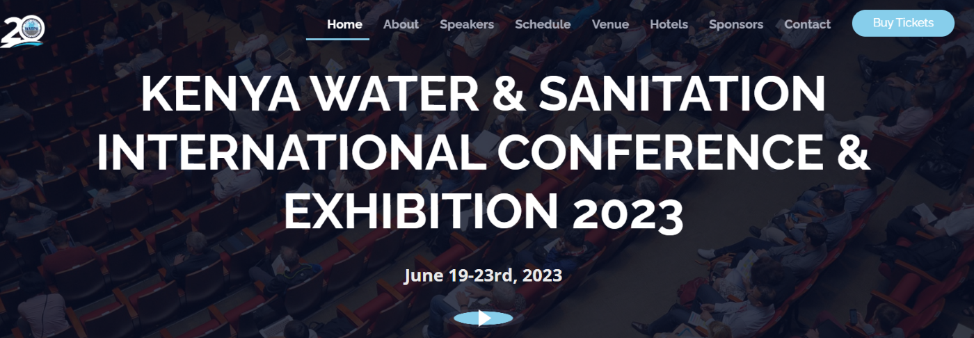
Kenya Water & Sanitation International Conference & Exhibition
19 Jun 2023 - 23 Jun 2023
IFAWS Dissemination Workshop (Kenya)
27 Jun 2023
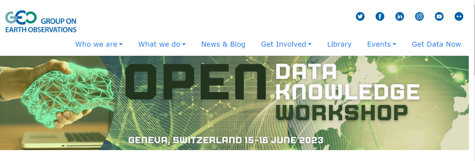
Open Data Knowledge Workshop
15 Jun 2023 - 16 Jun 2023
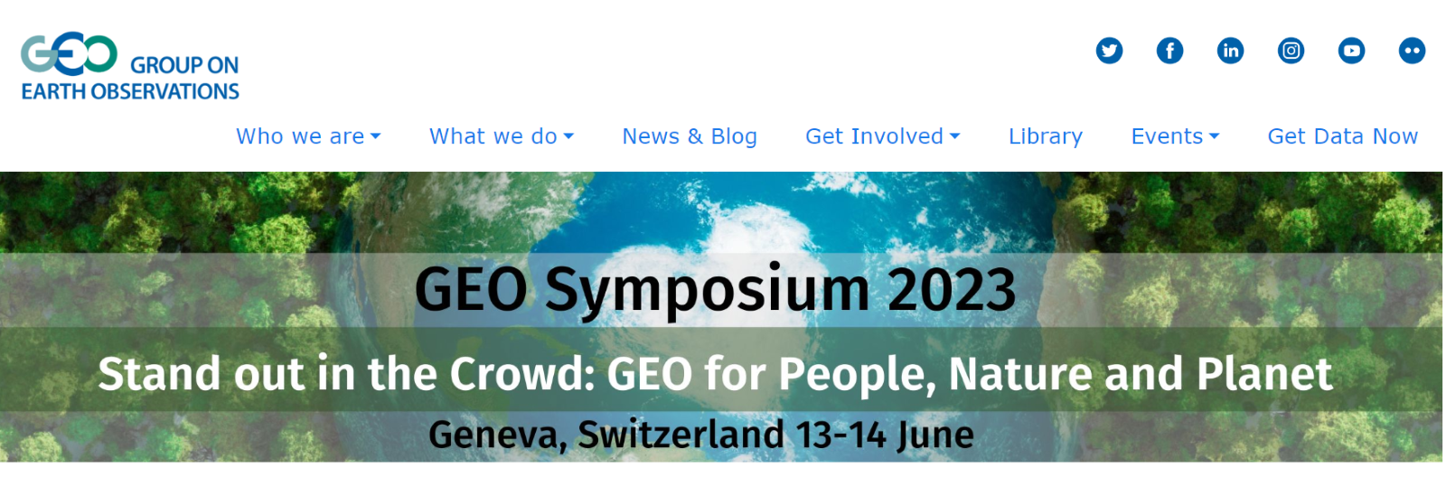
GEO Symposium 2023
13 Jun 2023 - 14 Jun 2023
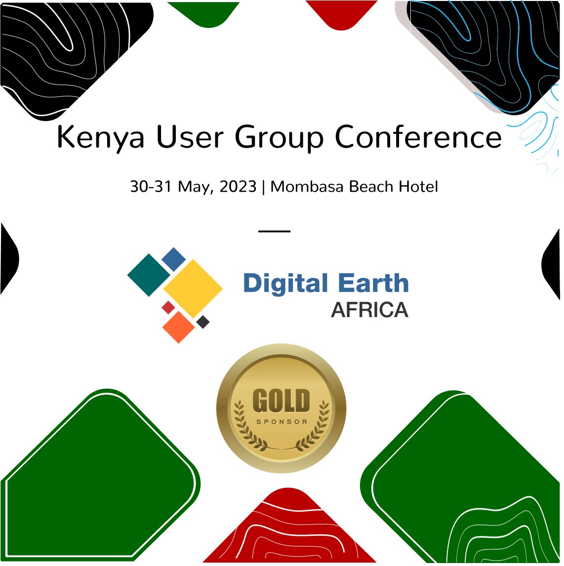
Kenya User Group Conference
30 May 2023 - 31 May 2023
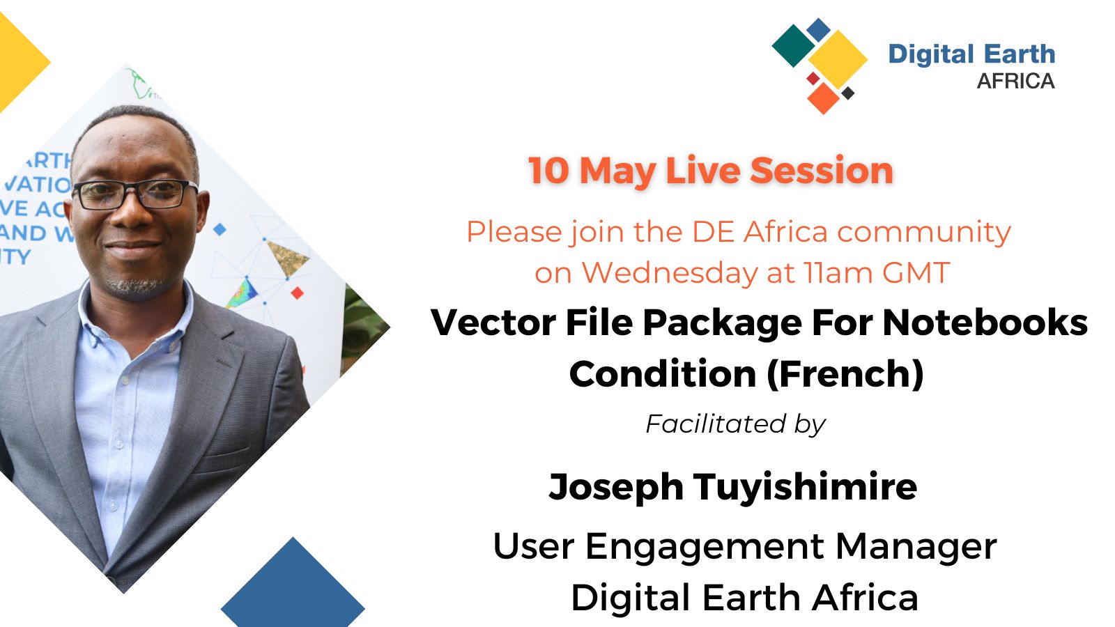
Adding Vector File function to Notebooks
10 May 2023
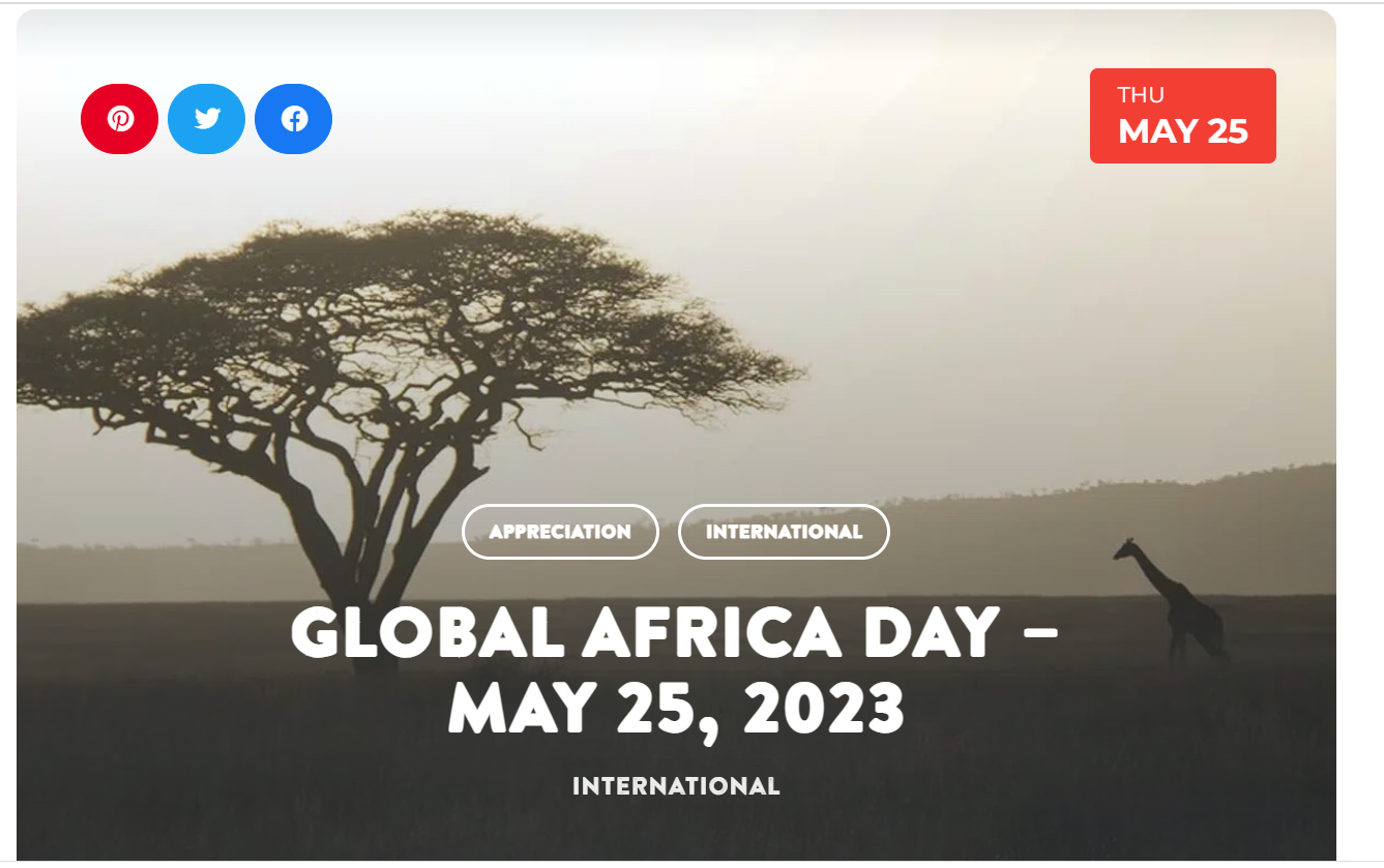
Africa Day
25 May 2023
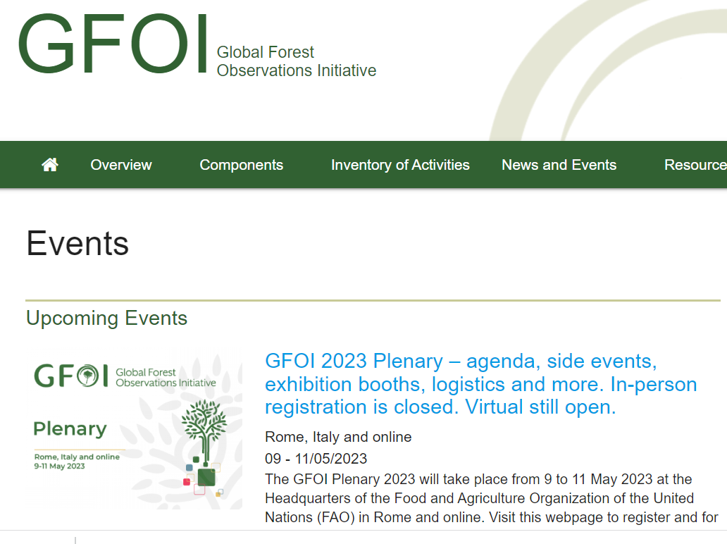
Global Forest Observations Initiatives (GFOI)
09 May 2023 - 11 May 2023
Chapman on Climate and Health in Africa
12 Jun 2023 - 15 Jun 2023
International Dialogue on Climate-Smart Rangeland Management
23 May 2023 - 24 May 2023
Pagination
First page
« First
Previous page
‹‹
Page
1
Page
2
Page
3
Page
4
Current page
5
Page
6
Page
7
Page
8
Next page
››
Last page
Last »
Why Digital Earth Africa?
Satellite Data for Sustainable Development
Climate Action and Reporting
Water Resources and Flood Risks
Agriculture and Food Security
Land Degradation and Coastal Erosion
Urbanisation
Impact stories
About
Our Team
Our Community
Our Partners
Subscribe to Stakeholder Community Group
Our Principles
Governing Principles
Governance and Delivery
Governing Framework
Governing Board
Technical Advisory Committee
Working Teams
Strategies
Planning and Reporting
Investment Logic
Data and Services Roadmap
Plans and Reports
Platform and Resources
Platform
DE Africa Services
Coastlines
Water Observations from Space
Cropland Extent Map
Fractional Cover
GeoMAD
Mean NDVI and Anomalies
Waterbodies Monitoring Service
DE Africa Analysis Tools
Analysis Ready Data
Landsat
Sentinel-1
Sentinel-2
Training and Help
Activities and Media
Projects
Blog
In the Media
Insight Reports
Gallery
Presentations
Brand and Promotion
Get Involved
Contact
Careers
Earth Observation Data Scientist